Sunday, April 9, 2023

#53 - Moses Spring to Rim Trail Loop

02-26-2022

Pinnacles National Park, California

This is the best hike in Pinnacles National Park, period. This hike showcases all the best features that Pinnacles has to offer: picnic areas, rock climbing, Bear Gulch Cave, and a lake. Bring a flashlight!
 
Distance: 2.50 miles (Loop)
 
Elevation Gain: 524 ft.
 
Final Elevation: N/A
 
Directions to the Trailhead: Use the following coordinates in Google Maps to route your directions to the Bear Gulch Parking Area. There are restrooms with running water nearby.
 
 
Parking and trailhead. Walk south until you reach a picnic area leading to a trailhead.

Walk left of the restrooms (south) to find the trailhead. You'll pass a smaller parking lot that is often full on busy weekends and some nice picnic benches before you reach the trailhead.
 
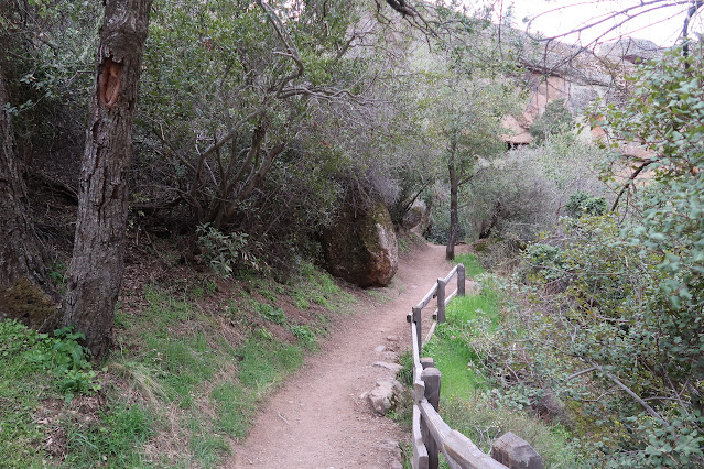
Trailhead.
 
Entrance to the caves. Watch your step!
 
Skinny stairs!
 
Exiting the caves to this cool chockstone. 

Made it to the lake! Last main feature to catch on this hike before you start your loop back to the parking lot.
 
#53.

 
Chris's Difficulty Scale - 2/10

Saturday, April 1, 2023

#52 - Garrapata Beach - Calla Lily Valley

02-06-2022

Monterey County, California

If you're on your way to Big Sur, make sure to stop by the calla lilly blooms nearby the beautiful Garrapata Beach. This is a great rest stop on long road trips along Highway 1.
 
Distance: 1.1 miles (Out-and-Back)
 
Elevation Gain: Minimal to none
 
Final Elevation: ~35 ft.
 
Directions to the Trailhead: Use the following coordinates in Google Maps to route your directions to the parking lot and trailhead. Parking will be along Highway 1.
 
 
Parking and trailhead.

Trail is well maintained.

Walk along the beach briefly until you reach a valley of sand.

Made it!

#52.

Chris's Difficulty Scale - 1/10

#51 - Mission Peak Loop via Stanford Avenue Staging Area

01-29-2022
 
Fremont, California

If you're visiting South Bay / Silicon Valley, don't miss out on the chance of hiking with cows. The Mission Peak hike features an exposed hike through beautiful rolling green hills. While the elevation gain is tough, the gain begins at sea level and remains relatively sustained until the top. The peak features a summit pole erected by Leonard Page and six others, and was created to promote environmental awareness. There are multiple routes up Mission Peak and this particular one is the shortest. Please don't pet the cows.
 
Distance: 5.8 miles (Loop)
 
Elevation Gain: 2,135 ft.
 
Final Elevation: ~2,517 ft.
 
Directions to the Trailhead: Use the following coordinates in Google Maps to route your directions to the parking lot and trailhead. Parking is hard to find in the morning so if you park along the streets, please respect the neighbors and no parking signs. They will ticket you!
 
 
Parking

The trail loop merges here.
 
Cows!!!

Continuing on...

This trail leads back to the Ohlone College trailhead, one of the few ways up Mission Peak. (Also, that's a bathroom!)

The uphill never ends.

Rocky section but not impossible for the faint of heart.

Made it!

Loop continues here.
 
#51.
 
Chris's Difficulty Scale - 5.5/10