09/20/2014
Sierra Madre, California
This was quite a spontaneous trip to be honest.. The brutal heatwave was subsiding and it was the first time in many weeks that the temperatures were in the 80′s. I threw a quick pack together and drove to what I thought was going to be a peaceful day to myself. While driving up the Santa Anita Canyon Road, I noticed an unusual amount of cars parked alongside the road instead of the parking lot…. Oh god. I came on a Saturday without even knowing. As much as I hate the fact that this place is now swarming with peeps, the joy of seeing families and friends going out to explore overwhelms my selfishness.
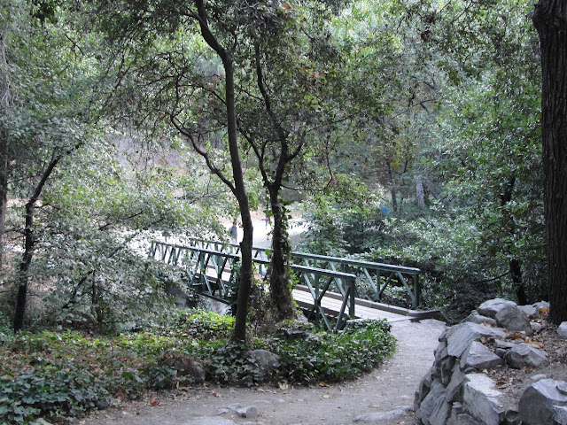
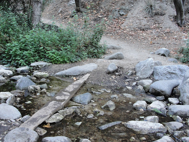
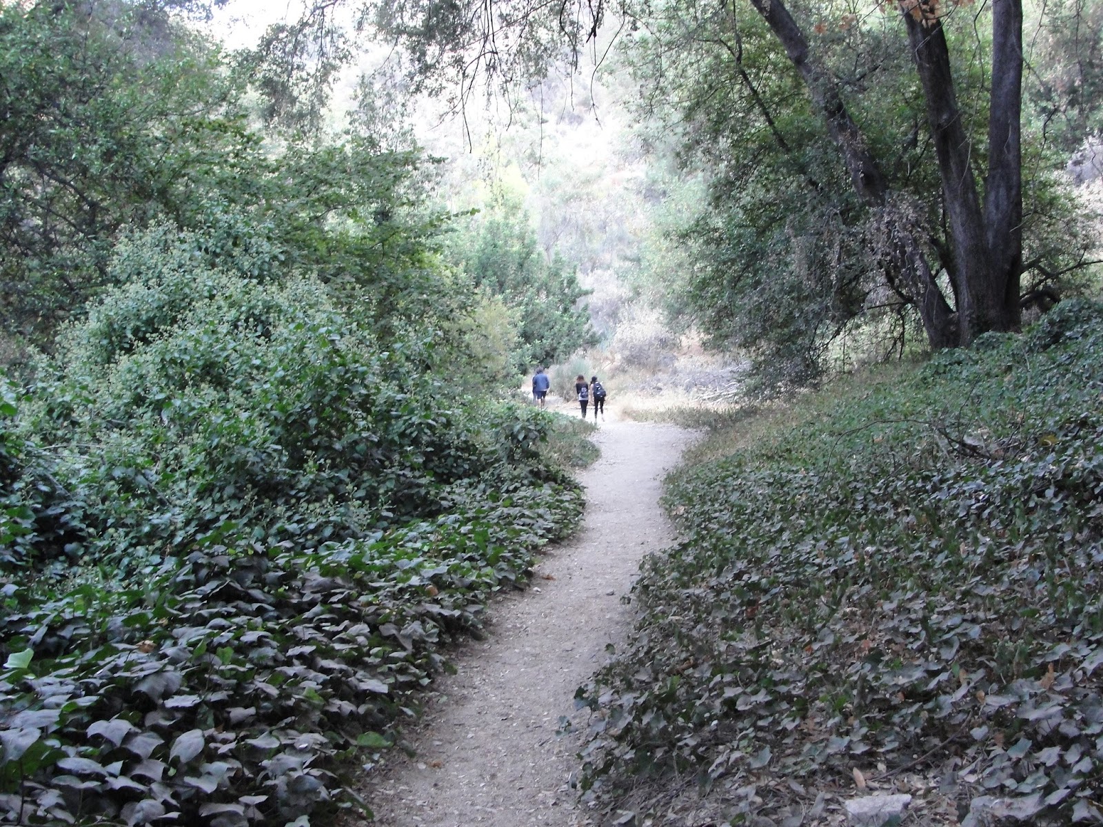
Sturtevant Falls is a quick out and back hike that requires little to no experience. The trails are maintained very nicely and the generous amount of signs all point you in the right direction. Normally, you hike parallel to the river accompanied by the soothing sounds of running water but it seems that the drought got the best of it. Throughout the trail, you’ll see a bunch of cool little cabins that I hope to own one day. Take your whole family out! Invite a good friend. Introduce a new trail to someone. Sturtevant Falls is fun for everyone.
Distance: 3.7 miles (Out-and-Back)
Elevation Gain: 646 ft.
Final Elevation: ~2,210 ft.
Directions to Chantry Flat Rd: Use the following coordinates in Google Maps to route your directions to Chantry Flat Rd.
34.171601,-118.032156
From Santa Anita Ave, drive north onto Chantry Flat Rd. until you reach a parking lot. You will need an Adventure Pass to park here. The trail starts below the parking lot on a fire road going downhill. Hike the Gabrielino Trail to the Fern Lodge Junction where it is a simple 0.5 mile hike from there.
Sierra Madre, California
This was quite a spontaneous trip to be honest.. The brutal heatwave was subsiding and it was the first time in many weeks that the temperatures were in the 80′s. I threw a quick pack together and drove to what I thought was going to be a peaceful day to myself. While driving up the Santa Anita Canyon Road, I noticed an unusual amount of cars parked alongside the road instead of the parking lot…. Oh god. I came on a Saturday without even knowing. As much as I hate the fact that this place is now swarming with peeps, the joy of seeing families and friends going out to explore overwhelms my selfishness.
Sturtevant Falls is a quick out and back hike that requires little to no experience. The trails are maintained very nicely and the generous amount of signs all point you in the right direction. Normally, you hike parallel to the river accompanied by the soothing sounds of running water but it seems that the drought got the best of it. Throughout the trail, you’ll see a bunch of cool little cabins that I hope to own one day. Take your whole family out! Invite a good friend. Introduce a new trail to someone. Sturtevant Falls is fun for everyone.
Distance: 3.7 miles (Out-and-Back)
Elevation Gain: 646 ft.
Final Elevation: ~2,210 ft.
Directions to Chantry Flat Rd: Use the following coordinates in Google Maps to route your directions to Chantry Flat Rd.
34.171601,-118.032156
From Santa Anita Ave, drive north onto Chantry Flat Rd. until you reach a parking lot. You will need an Adventure Pass to park here. The trail starts below the parking lot on a fire road going downhill. Hike the Gabrielino Trail to the Fern Lodge Junction where it is a simple 0.5 mile hike from there.
WELP. Parking lot was full… Added another 15 minutes to my hike.


Chantry Flat parking lot.


The beginning of the trail. (Gabrielino Trail)


Following the signs to Sturtevant Falls.


You'll see these cool looking dams throughout the hike.


The river... bone dry.


Lots of shade!


"Take care of the land... someday you'll be part of it."


Fern Lodge Junction


Cabin's everywhere!


Pretty dead river crossing.

Almost there...

Made it! Sadly, this isn't the same roaring waterfall it use to be.


Looking up from the base of the waterfall.


#6.


Chris's Difficulty Scale - 1/10


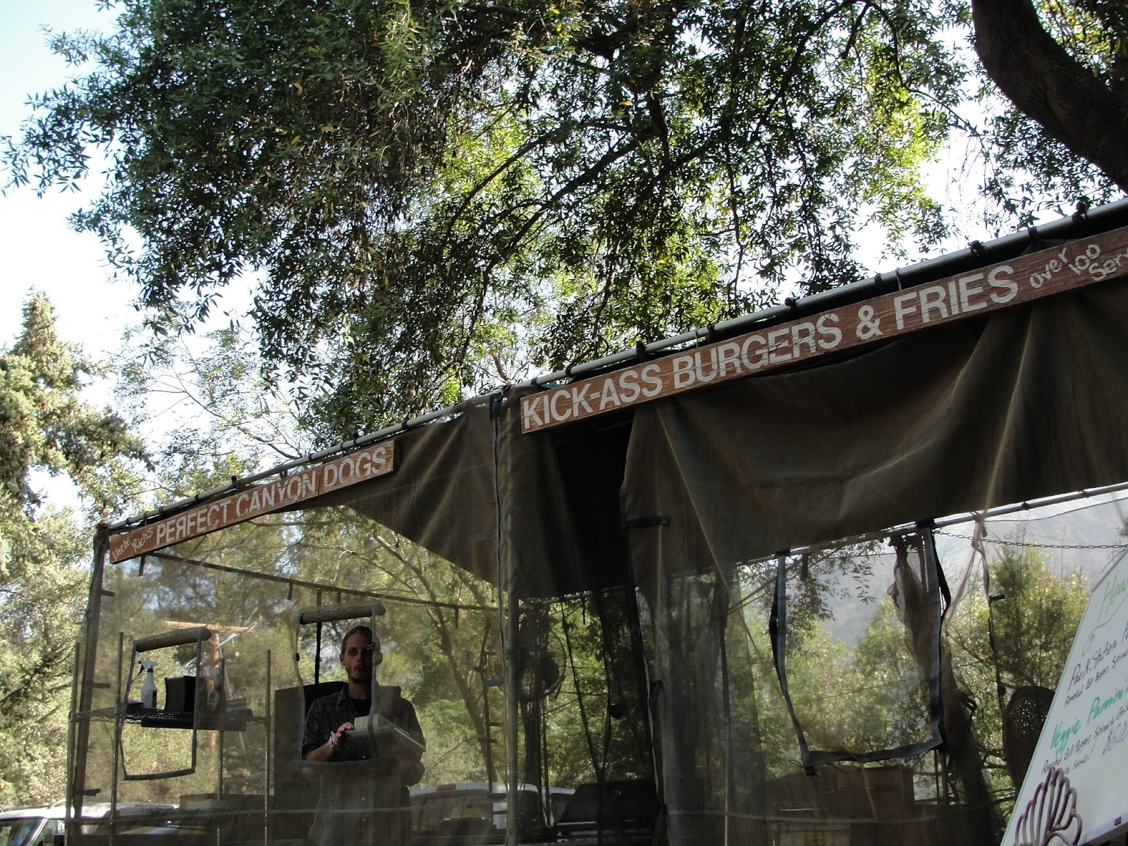
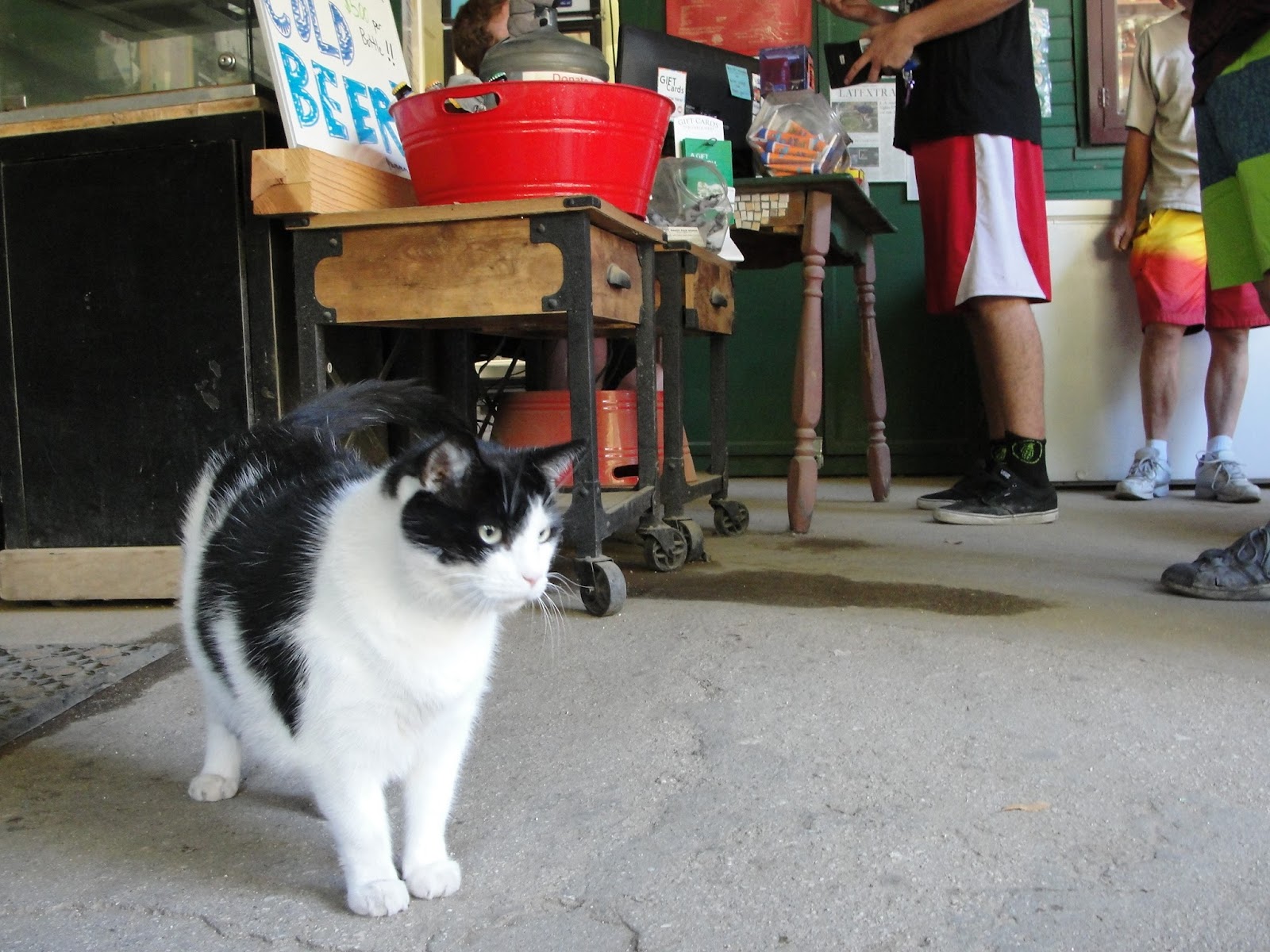
I also stopped by Adam’s Pack Station
to renew my campfire permit. This is also where you can purchase a day
pass for parking. (Did I mention coffee, beer, and food?) If they are
closed and you need to purchase a parking pass, you can park in their
dirt parking lot. They have a designated drop off box for parking money.


Chris's Difficulty Scale - 1/10
No comments:
Post a Comment